History 2008


Version 8.11

(22. November 2008)

A smaller step for the application, a giant leap for the version number.
The new version numbering reflects the publishing date


alle Tourgrafiken alle Tourgrafiken alle Tourgrafiken alle Tourgrafiken alle Tourgrafiken alle Tourgrafiken alle Tourgrafiken alle Tourgrafiken alle Tourgrafiken  


Improvements
  • reimplemented tour editorwhich makes it much easier
  • data transfer for Garmin devices includes heardbeat values
    (provided by Frank Figlarek)
  • display multiple tours in the map, by month/year
  • map can be dimmed to see the tour with better contrast
  • set sort order for the statistic dropdown box (preference dialog)
  • open tour compare wizard with the selected reference tour
    (tour catalog view)
Bugfix
  • use settings (like selection, values...) from previous session
    (this never worked correctly but now I found the bug and it should work forever)
  • display markers when altitude graph is not visible
  • and many others ...
This version can be installed only from the download site


Version 1.6.1

(7. September 2008)
Improvements
  • new action to reload failed map images
  • changed OSM cycle-map server
    (is much faster and provides higher resolution)
  • map server can now be modified in preferences
  • rxtx serial port driver for Linux 64bit
Bugfix
  • solved problem when column width is 0, it looked like the view shows nothing
  • column pref dialog displayed wrong column width
  • altitude up and down are swapped in garmin and gpx import
This version can be installed only from the update site, it requires version 1.6.0
After the software update, sometimes the first restart fails and you have to kill the application, the second restart is successful.


Version 1.6.0

(30. August 2008)
New features
Improvements
  • customize view colors
  • customize chart grid size
  • draw tour in the map with dots
  • removed peaks from computed values (speed, gradient and altimeter)
  • dramatic performance improvement for views and statistics
  • ... and some others
Database update
  • recompute max and average values
  • create new tables for tour tags
  • add indexes for better performance
Platform update
  • Eclipse 3.4
Bugfix
  • several
This version can be installed only from the download site


Version 1.5.0 (9. May 2008)

This version can be installed only from the download site and not from the update site


New features and improvements
  • tcx import: include cadence data

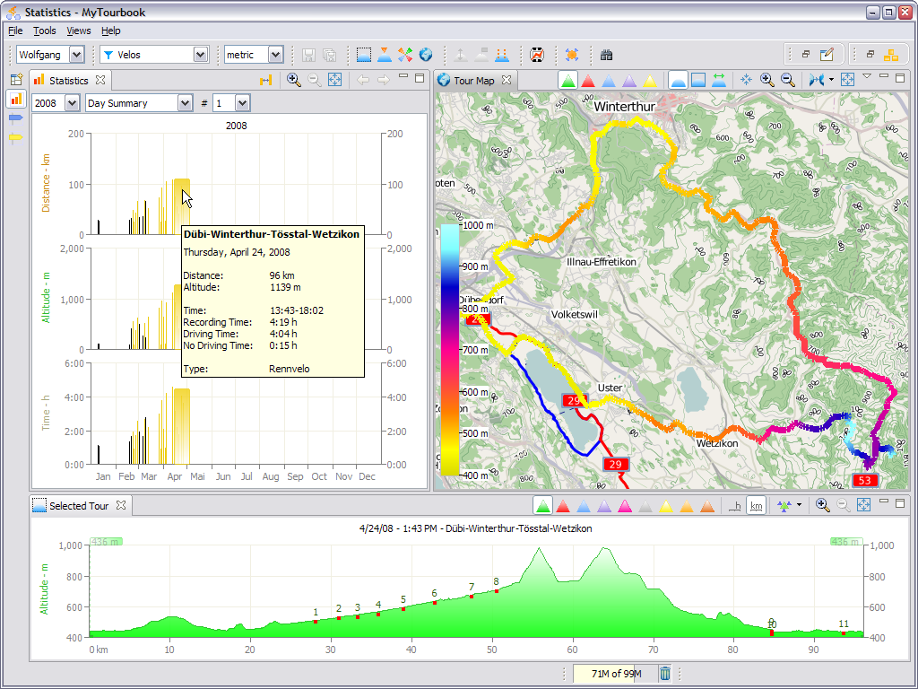
Statistic improvements
  • show statistics for several years
  • new statistic: by year
  • better tooltip info

Platform update
  • Eclipse 3.3.2
    this will fix the bug to display the map on OSX 10.5

Bugfix
  • tcx import
  • daum ergometer import
  • gpx import
  • adjust altitude for metric system


March 17, 2008 at EclipseCon 2008

Eclipse Community Awards 2008 Winner


MyTourbook is the winner for the Best Open Source Eclipse RCP Application 2008.

Eclipse Zone has a story about the history.

award


Version 1.4.0 (14. March 2008)

This version can be installed only from the download site
To cleanup the application directory before installing a new version is described here...


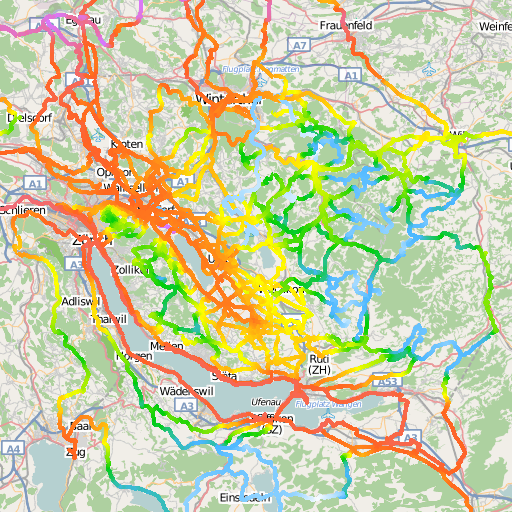
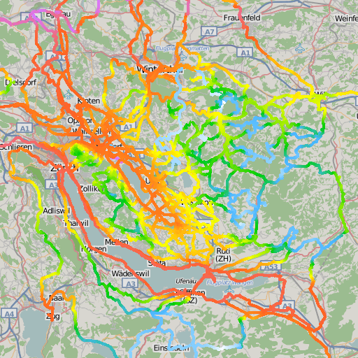
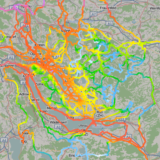
New features for the map
New
Bugfix
  • map offline cache created corrupt images, this is an eclipse swt bug and is solved with java awt functions
  • longitude/latitude have been saved for non GPS tours (resaving a tour will remove the unnecessary data)


Version 1.3.0 (24. January 2008)

This version can be installed only from the update site and requires version 1.2.0


New
Changes
  • Tour Map is renamed to Tour Catalog
    there can be an error when opening the new version for the first time, just ignore it, the next time when the application is started, the error should not occure

Fixed Bugs
  • Tour Chart: X-slider on the time-axis showed the wrong value


2007

2009