SRTM Gallery
"View the world in your own colors"
This gallery displays images which are created with the SRTM map.
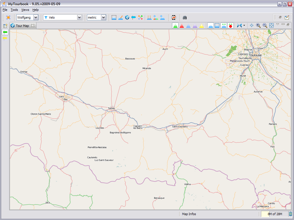
You can contribute to this gallery but you must provide also a picture at the same location from a normal map (like OpenStreetMap). This map must display the same area but can be zoomed out to see the location where it's created. The preferred image format is png because it does not loose any color and has no artefacts.
Apart from that, this map can also display a tour.
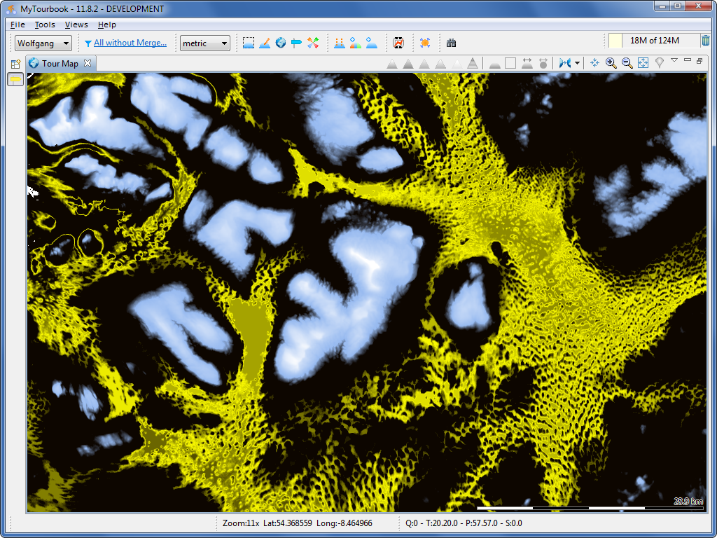
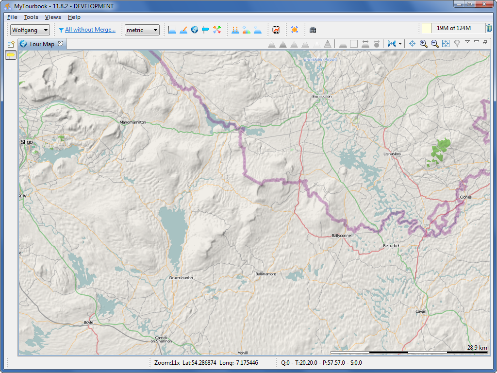
| Ireland |
Wolfgang Schramm, September 2011 |
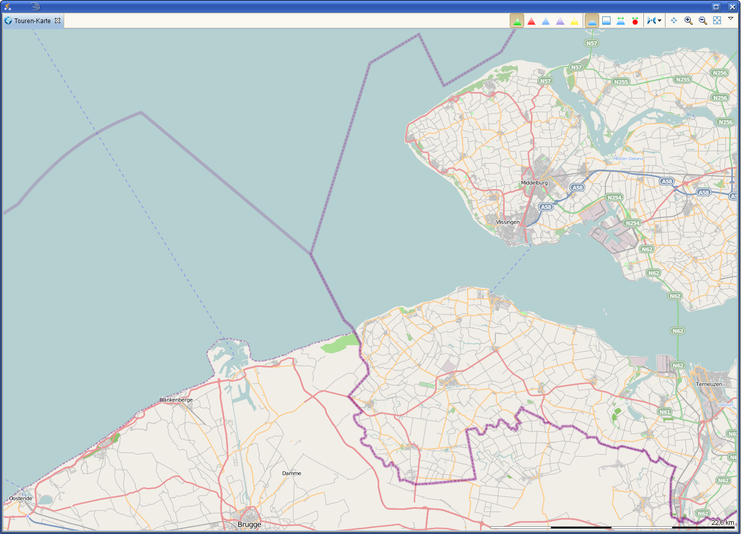
| Belgian-Dutch coast |
Alfred Barten, June 2009 |
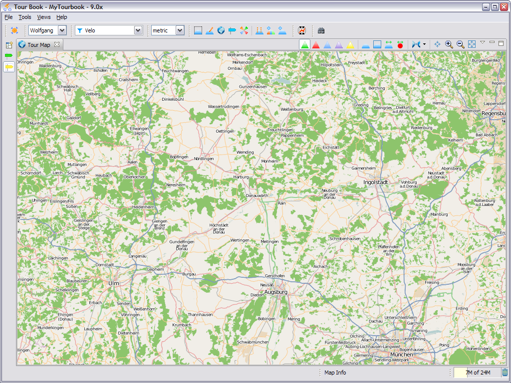
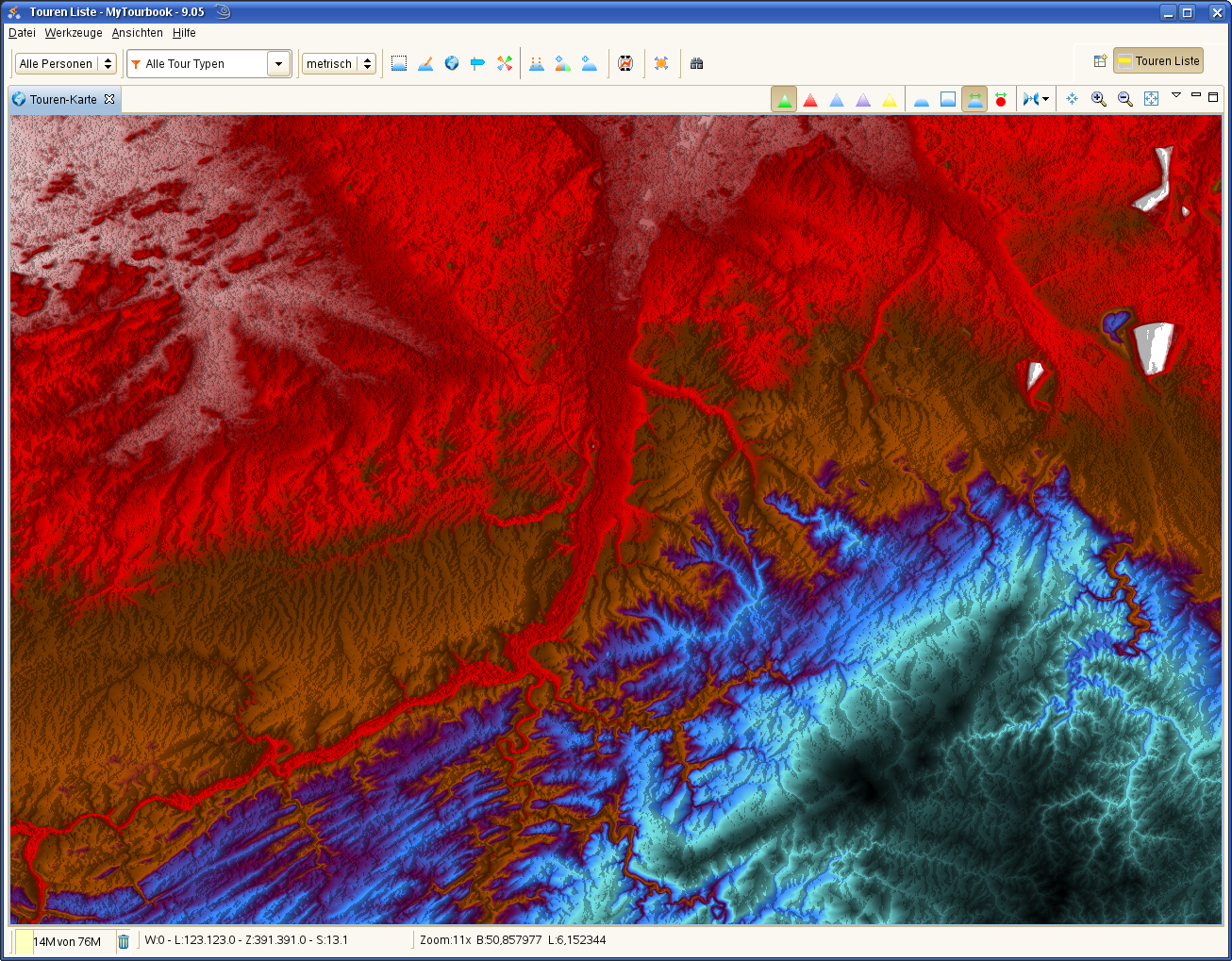
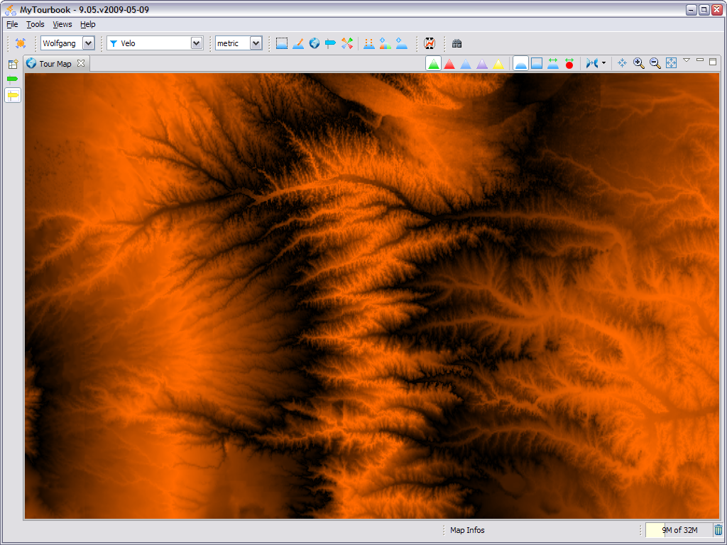
| Germany south |
Wolfgang Schramm, May 2009 |
| Border Triangle NL-BE-DE |
Alfred Barten, May 2009 |
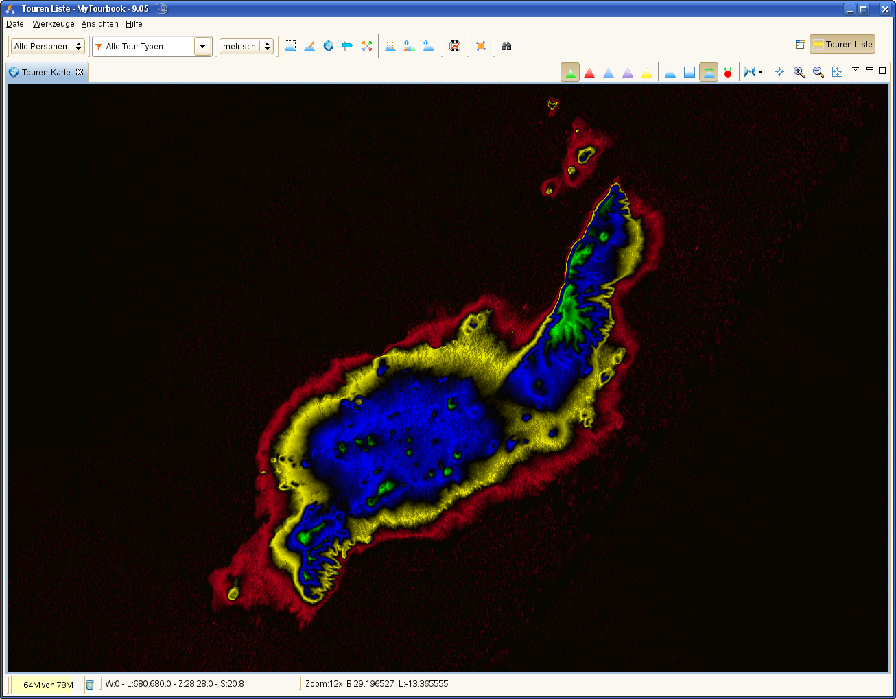
| Lanzarote |
Alfred Barten, May 2009 |
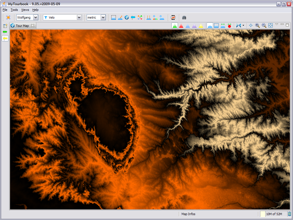
| Saudi Arabia |
Wolfgang Schramm, May 2009 |
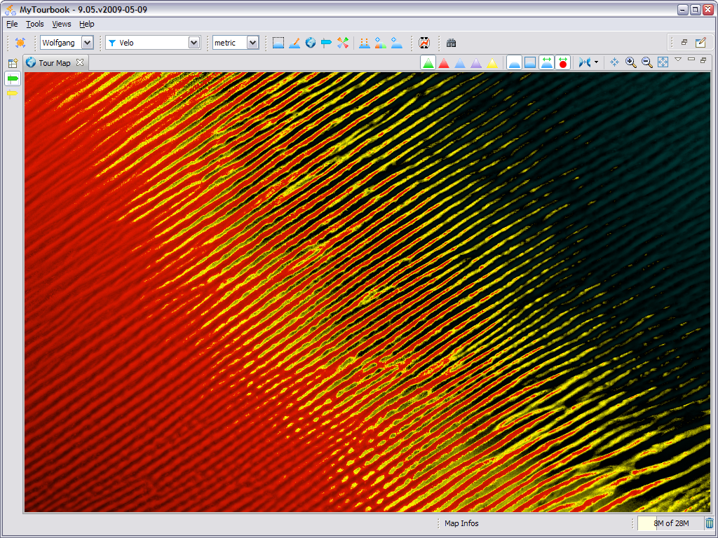
| France south |
Wolfgang Schramm, May 2009 |
| US middle |
Wolfgang Schramm, May 2009 |
| US middle |
Wolfgang Schramm, May 2009 |