

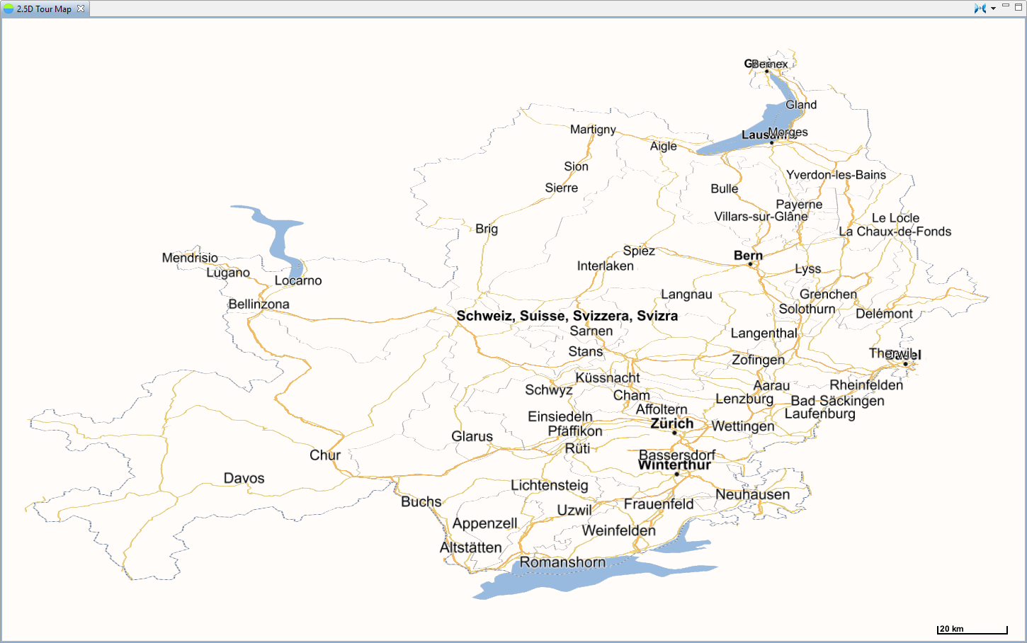
 2.5D Map Examples
|
|
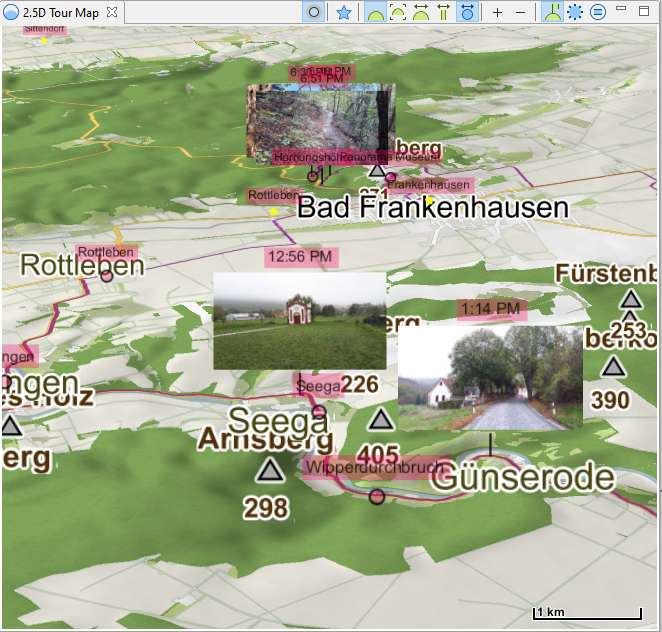
Photo Layer (20.8) |
|
|
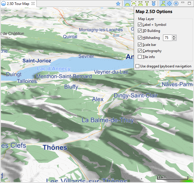
Hillshading Layer (18.13) |
|
|
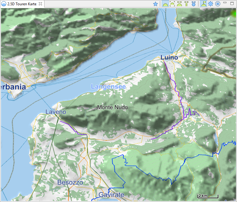
Mapsforge offline map from https://www.openandromaps.org/en „Lago Maggiore“ translates into „Langensee“ (18.13) |
|
|
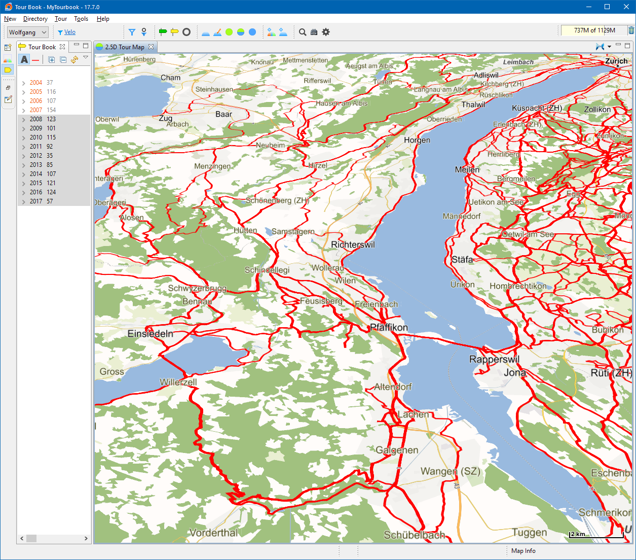
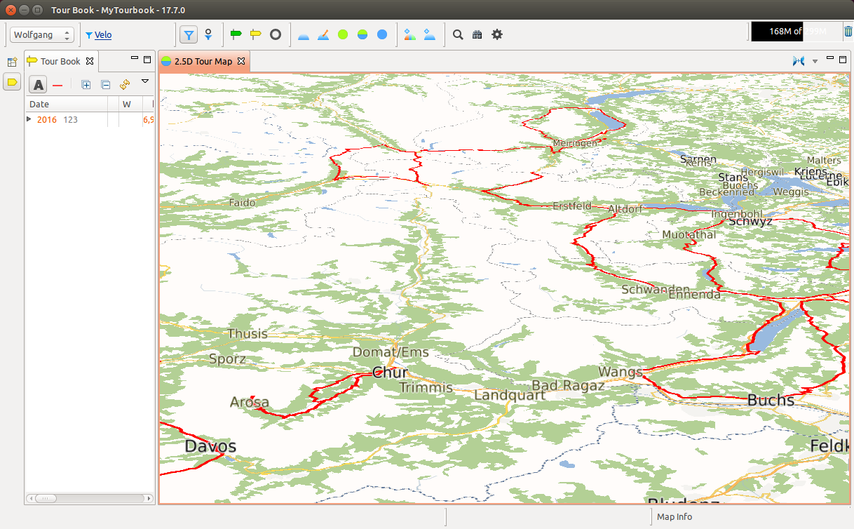
~1000 selected tours |
|
|
Runs on Linux (Ubuntu 14.4) |
|
|
My own tile server which serves tiles only from Switzerland, more countries needs a huge amount of disk space |
|
|
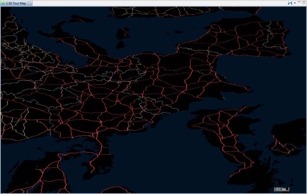
Open science map with a dark theme, this is Europe with south on top |
|
|
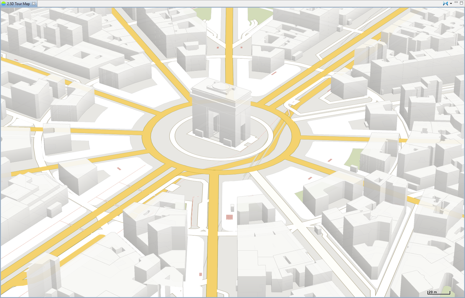
Buildings are displayed with zoomlevel >=17, labels are hidden in this example (with key <L>) |
|
|
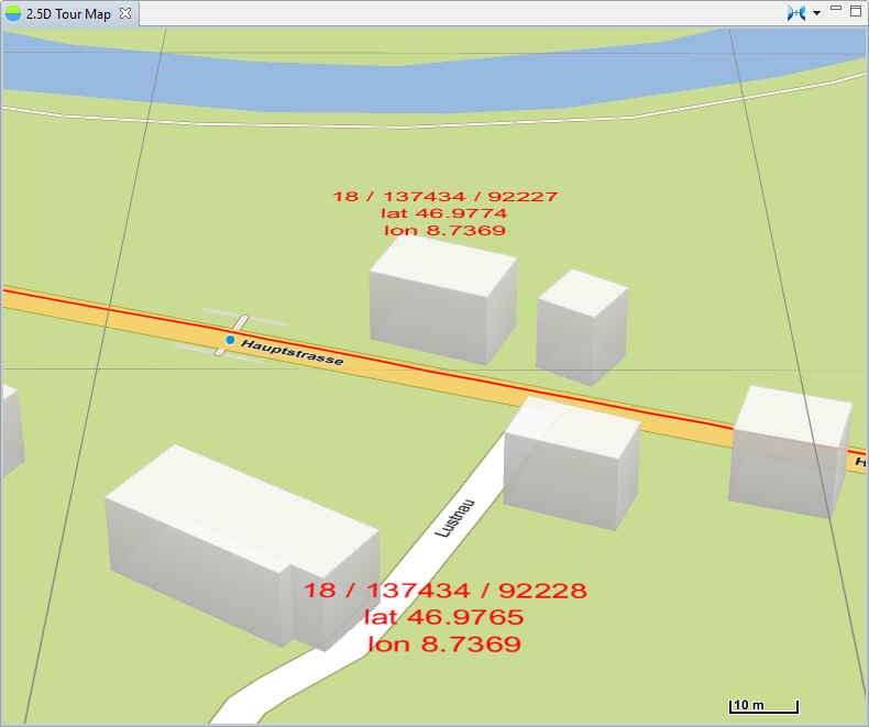
For debugging the grid, zoom level and geo location is displayed (with key <G>) |
This page is updated for version 20.8
