3D Map - Layers
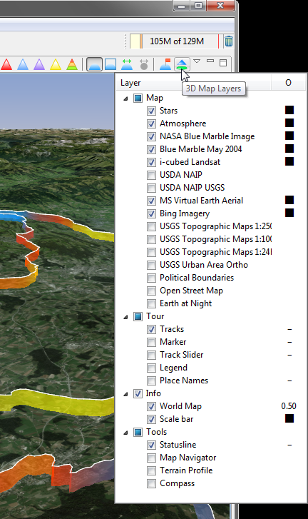
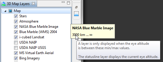
The 3D Map Layer slideout shows all layers which could be displayed in the 3D map, hidden layers are not displayed, e.g. hovered slider.
This slideout can be opened by pressing or hovering this ![]() icon in the 3D map toolbar.
icon in the 3D map toolbar.
In the preference dialog, this layer slideout can also be displayed with the same features.
Show/Hide Layer
A layer is displayed in the 3D map view when the layer checkbox is checked.
Layer Opacity
The opacity can be set for some layers in the second column.
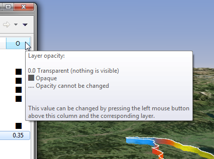
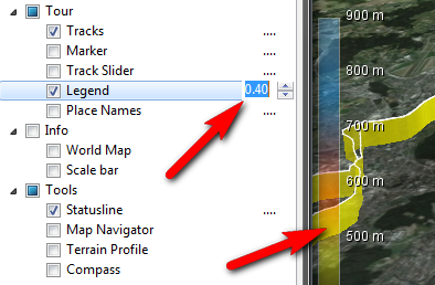
The opacity value can be modified by pressing the left mouse button when opacity is not disabled.
Sensitive Area
There is a sensitive area in this slideout which allows to easily show/hide layers when this area is clicked.
This sensitive area is on the right site of the slideout and it's width is one third of the whole slideout width. The mouse cursor will change when this area is hovered.
Clicking inside this area is doing these actions:
- Show/hide map layer.
- Collapse/expand layer category.
Min/Max Eye Altitude
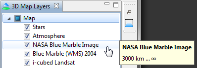
When the tooltip for a layer is displayed it also shows the min/max eye altitude when this layer is displayed.
This page is updated for version 14.4


